Size of this preview: 714 × 600 pixels. Other resolution: 1,170 × 983 pixels.
Original file (1,170 × 983 pixels, file size: 168 KB, MIME type: image/jpeg)
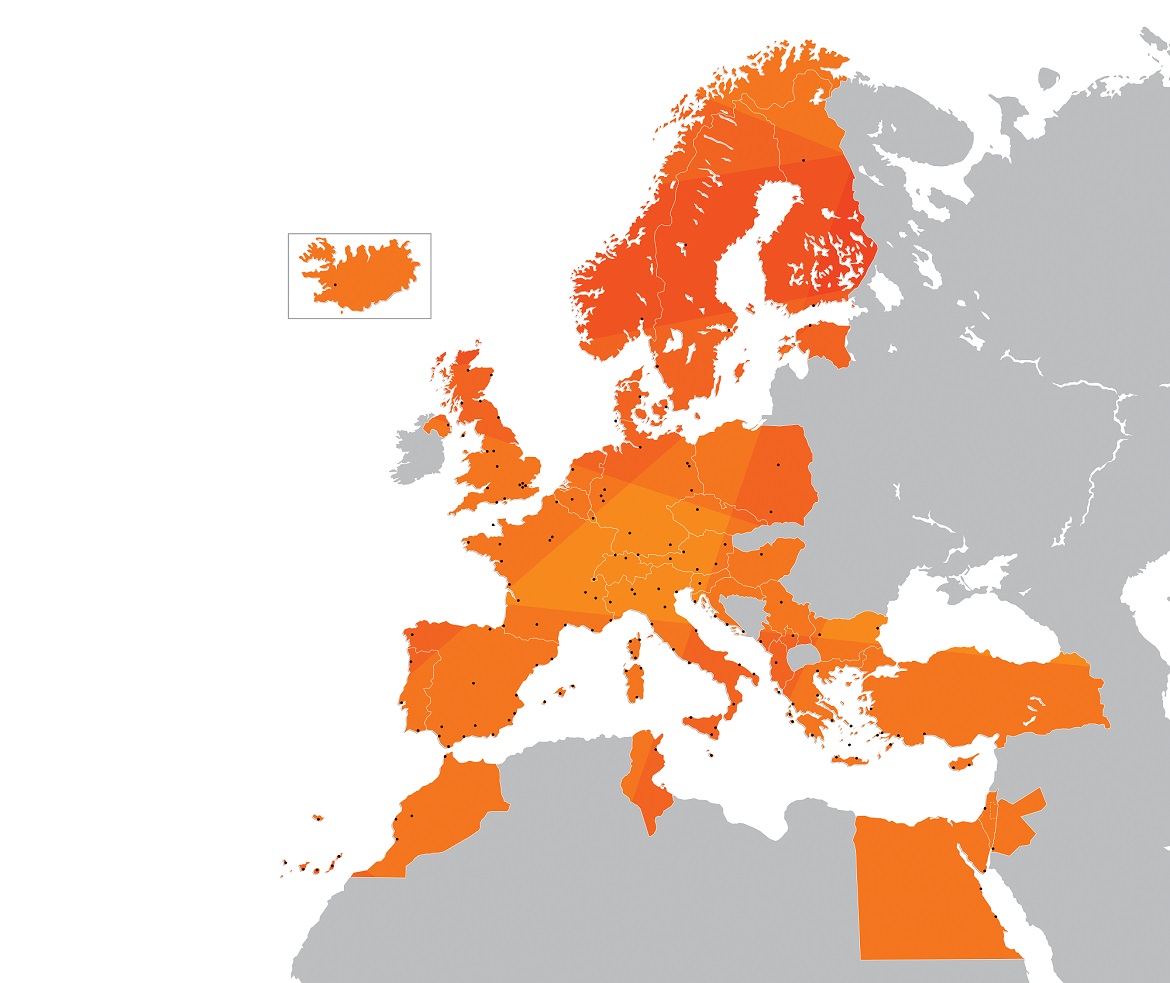
Map of Europe and North Africa showing the areas that easyJet run flights
File history
Click on a date/time to view the file as it appeared at that time.
| Date/Time | Thumbnail | Dimensions | User | Comment | |
|---|---|---|---|---|---|
| current | 14:06, 24 July 2023 | | 1,170 × 983 (168 KB) | >Walkera-y14 |
You cannot overwrite this file.
File usage
The following page uses this file: